
Sports
FIRST ALERT FORECAST: Rain returns Sunday after 16-day dry stretch
By Marcus Chen
Advertisement · Why this ad?
Marcus manages the day-to-day editorial workflow across all brands, coordinating coverage assignments and ensuring editorial standards are met. He previously served as city editor at the Pioneer Press and holds a degree in Political Science from Carleton College.
More from Marcus →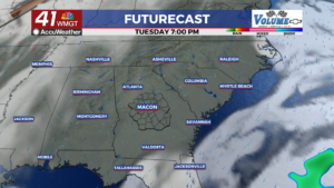
MACON, Georgia (41NBC/WMGT) For the first time in quite awhile, we get to talk about the possibility of a small break in our weather pattern that brings some rain chances creeping into the forecast, just in time for Halloween. The work week continues to look sunny and mild with daily high temperatures in the 70s and daily lows in the 40s and 50s. There will be some variations of a few degrees thanks to some moving pieces aloft on the periphery of the southeast, but the overall weather won t feel much different day to day. Another potent trough diving across the northeast will bring yet another surface high over the Appalachians, brings another somewhat wedge-like airmass diving down the Appalachians and into the coverage area. This will reinforce the dry Fall-like air in place on Wednesday and could even keep highs closer to 70 or even the upper 60s in some places. Weak surface high pressure settles over the area Thursday into Friday and will slowly warm a bit, bringing us into the
By Marcus Chen

By Devon Wright

By Marcus Chen

By Marcus Chen