
Community
FIRST ALERT FORECAST: 70s today; Storms possible Wednesday
By Rebecca Nash
Advertisement · Why this ad?
Jared Lawson, a graduate of the University of Alabama, has over five years of experience in community reporting, previously working for a neighborhood news site in Birmingham. He is dedicated to uncovering stories that connect and uplift the residents of Macon.
More from Jared →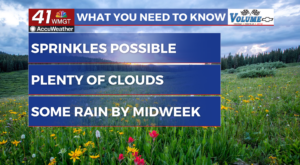
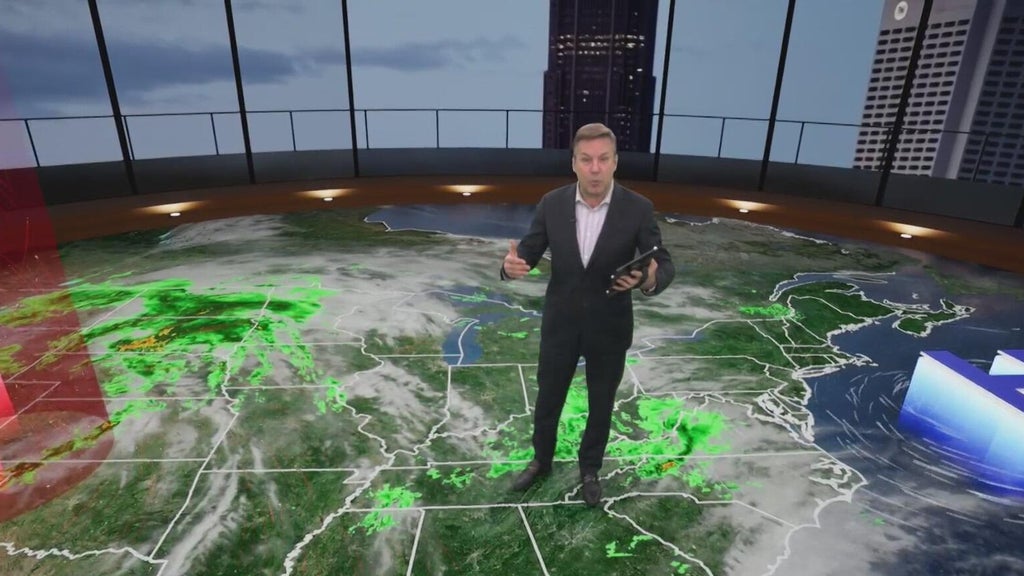
MACON, Georgia (41NBC/WMGT) Isolated instances of drizzle or sprinkles will be possible through daybreak, however by and large most areas will remain dry through Tuesday. Cloud cover will linger through mid-day before slowly eroding. Similar conditions are anticipated for early Tuesday. High pressure remains across the Mid-Atlantic extending southward will keep a wedge like pattern in place as mid-level ridging builds. Mostly dry weather for North and Middle Georgia through Tuesday. The erosion of cloud cover will allow for temperatures to climb into the 70s by afternoon. Low temperatures each day will be in the 50s to low 60s. Easterly winds will also remain breezy with occasional gusts up to 20 mph. The extended forecast pick up on Tuesday night with Georgia underneath a strengthening southwesterly flow ahead of a longwave trough extending from the Upper Midwest towards the Lower Mississippi River Valley. The advection of deep moisture within this flow regime will have dewpoin
By Rebecca Nash

By Rebecca Nash

By Rebecca Nash
By Margaret